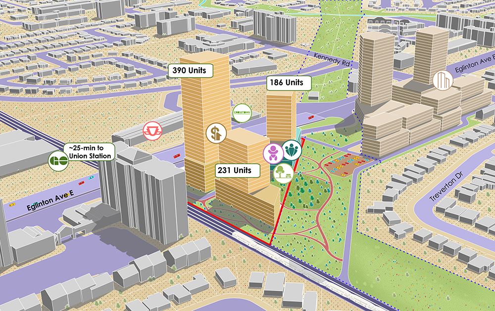
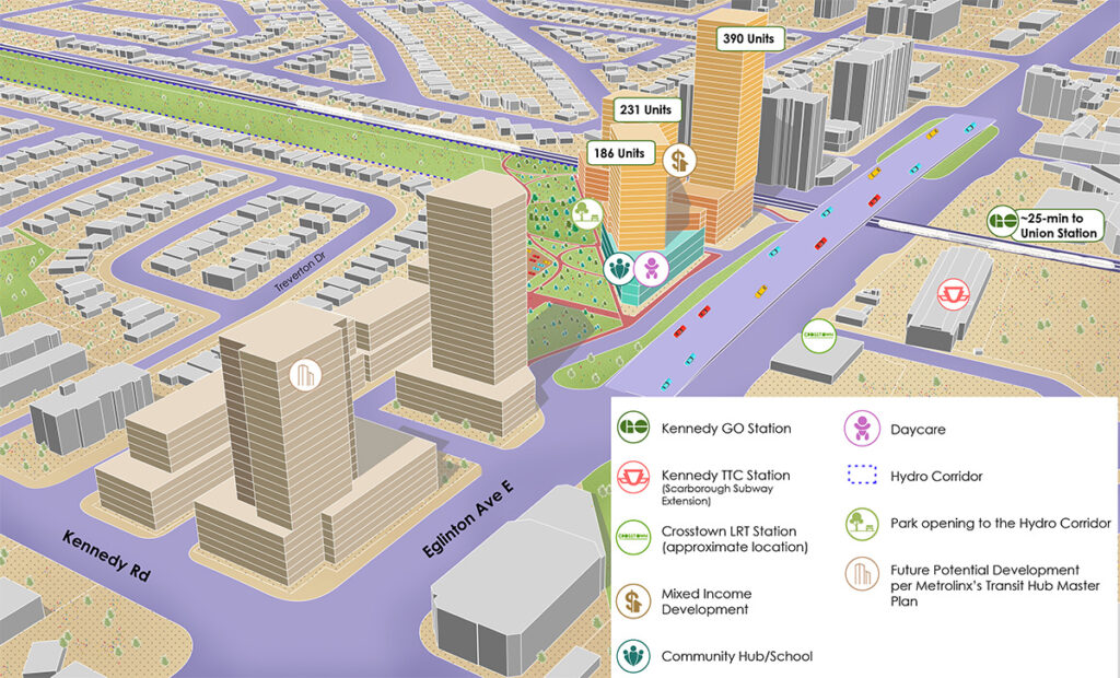
Client: HousingNowTO Location: Toronto, ON Scale: Master Plan Size: 2.2 acres Transit: Kennedy GO, Kennedy Subway Station and a new LRT Station Units: 809 units
The following report is a pro-bono project by Smart Density as part of the HousingNowTO.com volunteer-collective.
At the heart of the HousingNOW initiative lies a transformative opportunity—the Kennedy station north parking lot. Let’s explore how this space could become a vibrant community hub with affordable housing options, aligning perfectly with the City’s vision.
Understanding the Site and Its Context
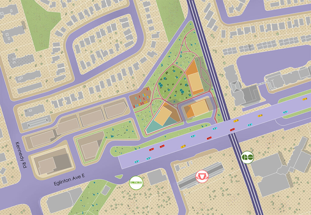
This site includes a mix of a TTC commuter parking lot and an empty auto-repair facility, presents an incredible opportunity for innovation. Imagine this: 199 surface parking spaces catering to Kennedy GO and Subway station users, adjacent to vacant lots with enormous potential. What an underused site!
Embracing Connectivity
Location is key! Positioned right across from the busy Kennedy Mobility Hub, this area enjoys excellent transit connectivity. The hub features the Kennedy GO and Subway Station and Bus terminal, with the forthcoming Eglinton LRT terminus, enhancing accessibility even further.
Urban Planning and Vision
The area’s designation as Mixed-Use in the Official Plan Land Use map paves the way for intense yet thoughtful development. The Eglinton Connects Planning Study and the Kennedy Mobility Hub Study offer guidelines for creating an appealing, transit-centric community that were the guiding planning principles, with the relevant proposed changes to align them with a contemporary city-building vision.
Design Principles for a Flourishing Community
Our proposal follows key design principles that prioritize community well-being and inclusivity. Embracing diversity in housing types, from affordable units to family-oriented spaces, forms the foundation of this urban design concept. Placing emphasis on walkability, ample green spaces, and thoughtfully connected pathways fosters a sense of place.
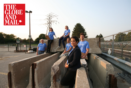
Toronto advocacy group fights for more rental units at city-owned ‘lazy land’
We use cookies to ensure that we give you the best experience on our website. If you continue to use this site we will assume that you are happy with it.OkNoPrivacy policy